
REALCOOL- Really cooling water bodies in cities
2016-2018, funded by the NWO and Taskforce for Applied Research SIA research programme Research through Design (project number 14589) and the AMS Institute; Project leaders: Sanda Lenzholzer, Jeroen Kluck, team members: João Cortesão, Lisette Klok, Cor Jacobs, Jochen Mülder (Lenné3D), representatives from OKRA, de Urbanisten and TAUW, municipalities of Amsterdam, s’Hertogenbosch, Enschede, Utrecht and Hoogeveen and the RIVM.
Small urban water bodies, such as ponds or canals, are commonly believed to solve urban heat problems but recent research shows that the cooling effect of large urban water bodies on hot summer days is quite limited and can actually induce a night-time warming effect. However, shading, vaporising water and proper natural ventilation might help to keep urban water bodies and their surroundings cooler. But how to combine these strategies in urban design? The ‘Really cooling water bodies in cities’ (REALCOOL) research project explored the most effective combinations of shading, water vaporisation and natural ventilation around small urban water bodies. Optimal cooling strategies were developed for common urban water bodies in temperate climate zones. They are now made available to designers as virtual design prototypes
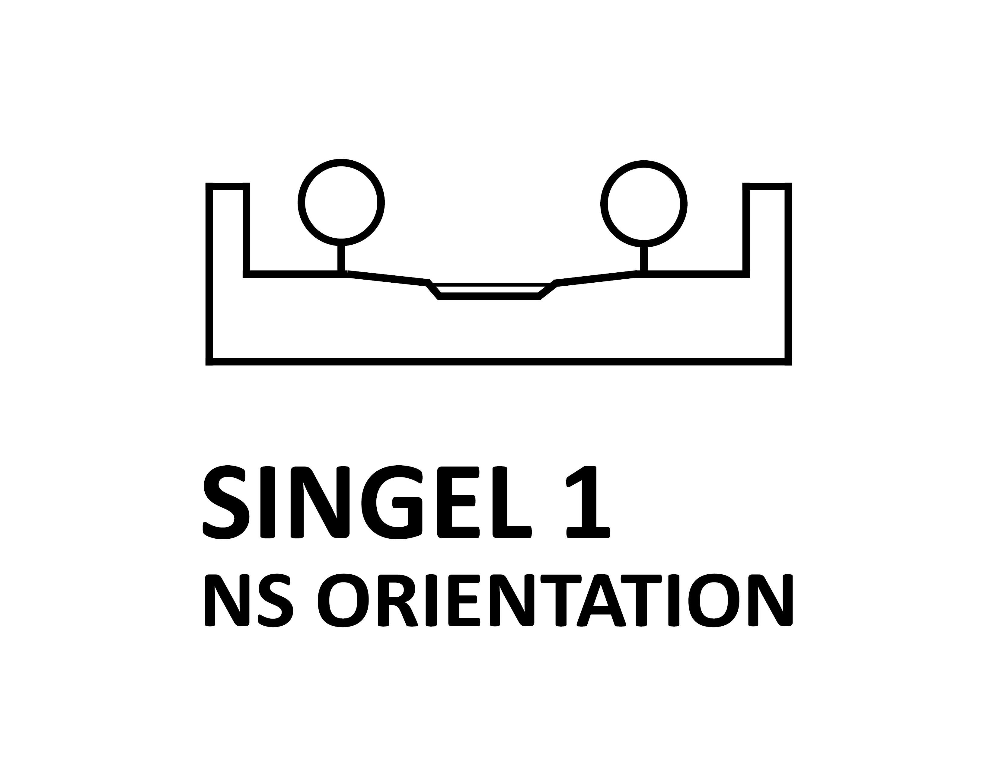
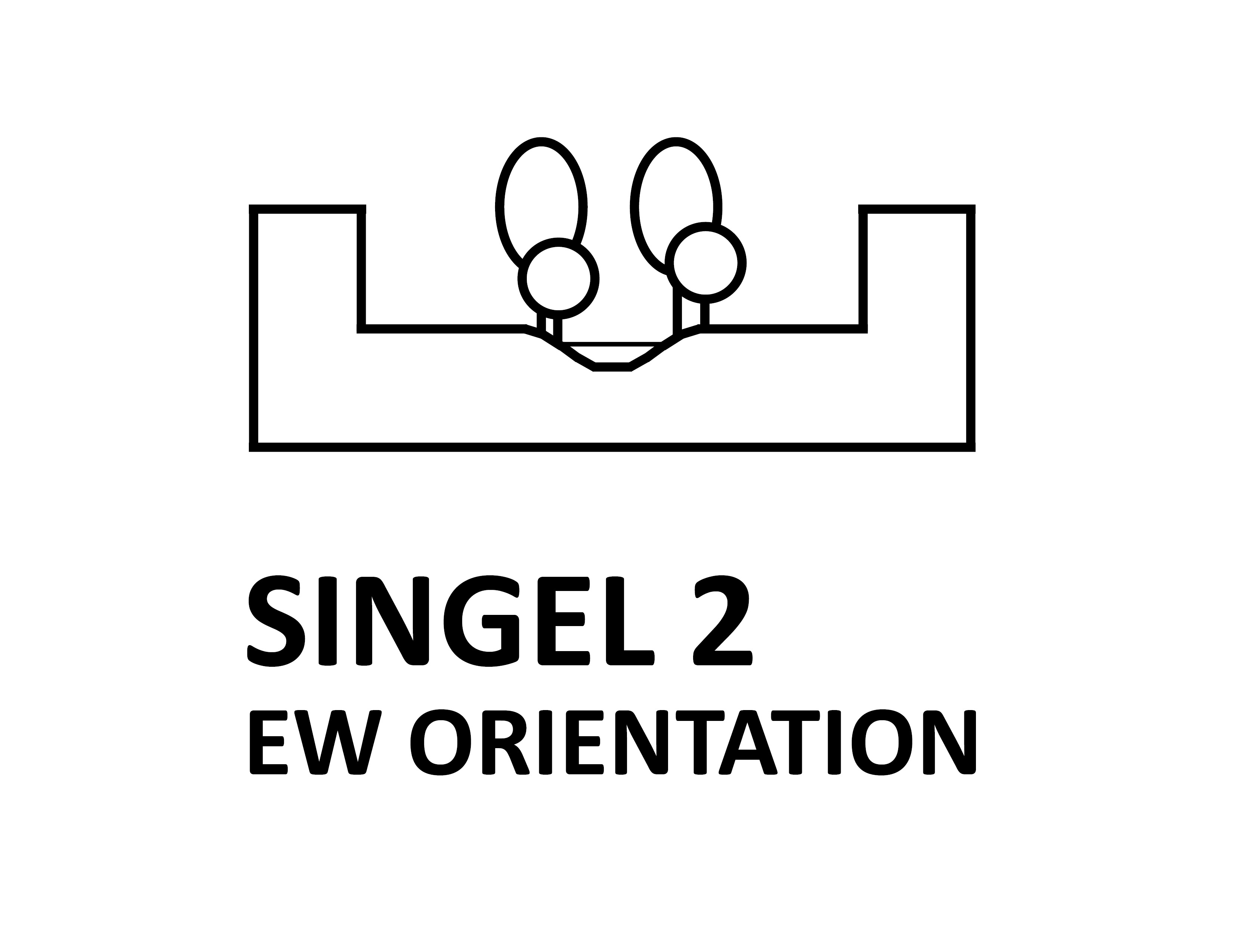
Each REALCOOL prototype depicts how these overarching principles can be given a shape. If you want to know how to design urban water bodies that cool their surrounding environment, take a look at our prototypes. Simply klick the icon that fits your own case best, watch the animation and be inspired to apply the design guidelines to your assignment!
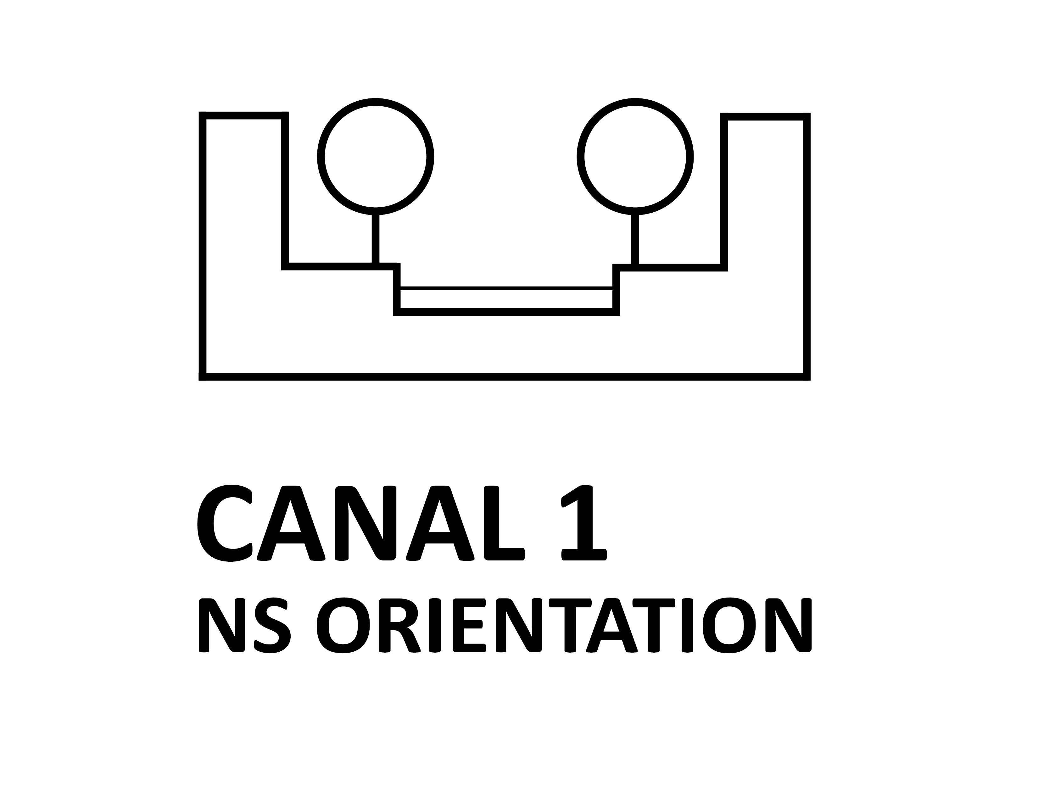
Average 40 m wide symmetrical canyons with a central 20 m wide waterbody in high-density centre areas. Waterbody flanked by high quays with lined-up trees. Predominant uses in water: recreational and transportation boat traffic; boat houses. Predominant surrounding uses: motorised and pedestrian traffic; mix-use.
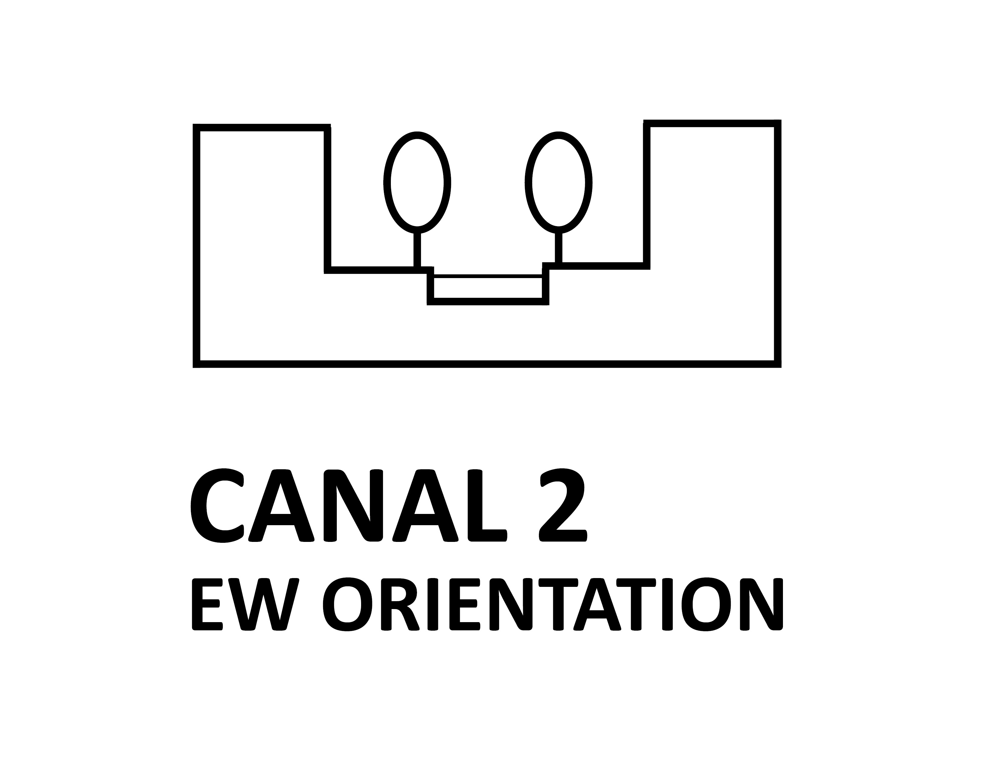
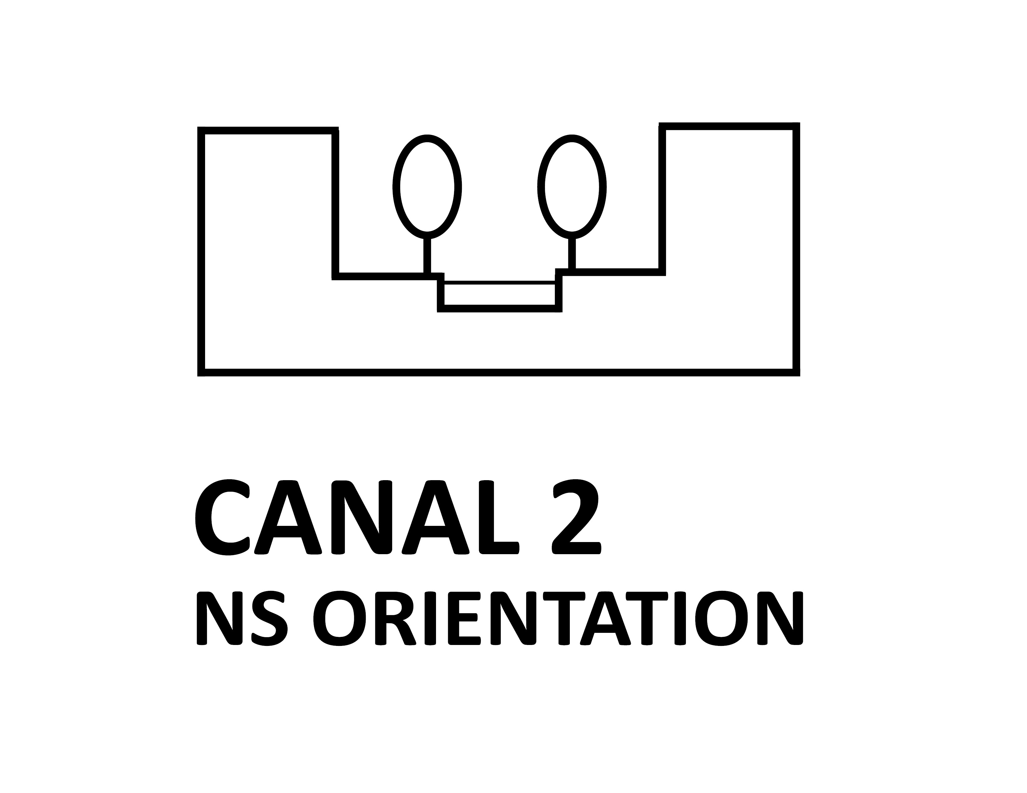


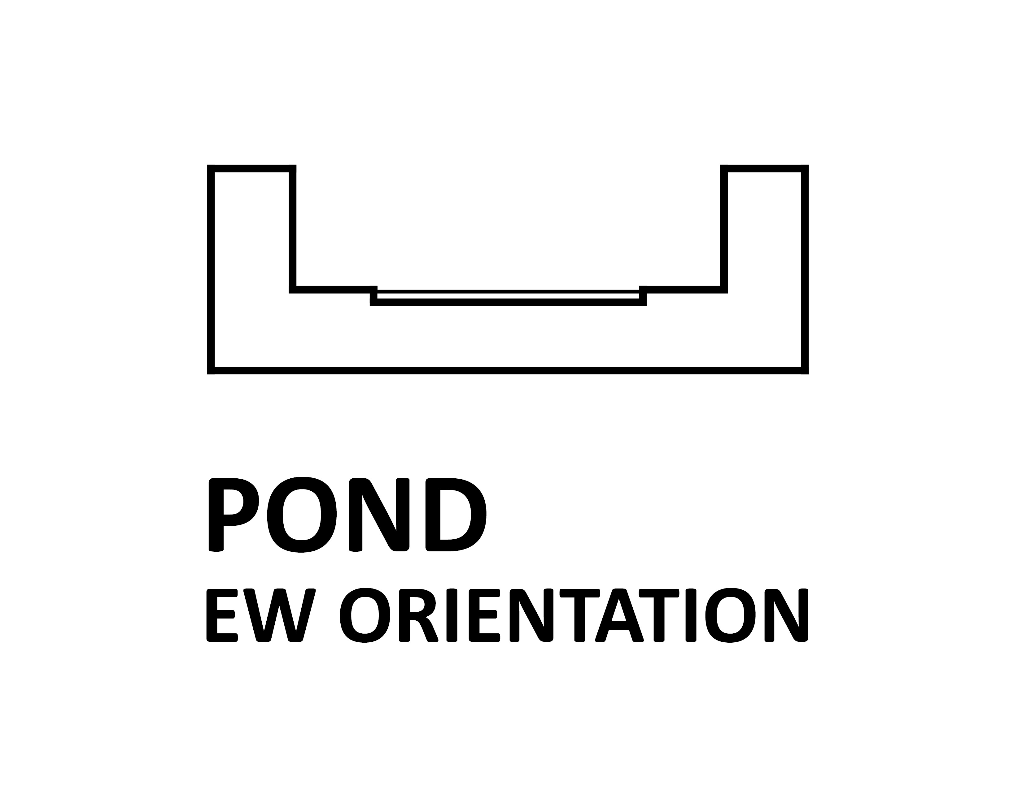
Average 62 m wide symmetrical canyons with a central 12 m wide waterbody in low-density centre or periphery areas. Wide, slightly sloped and accessible green areas flank the waterbody. Predominant uses in water: recreational boat traffic. Predominant surrounding uses: motorised and pedestrian traffic; residential.

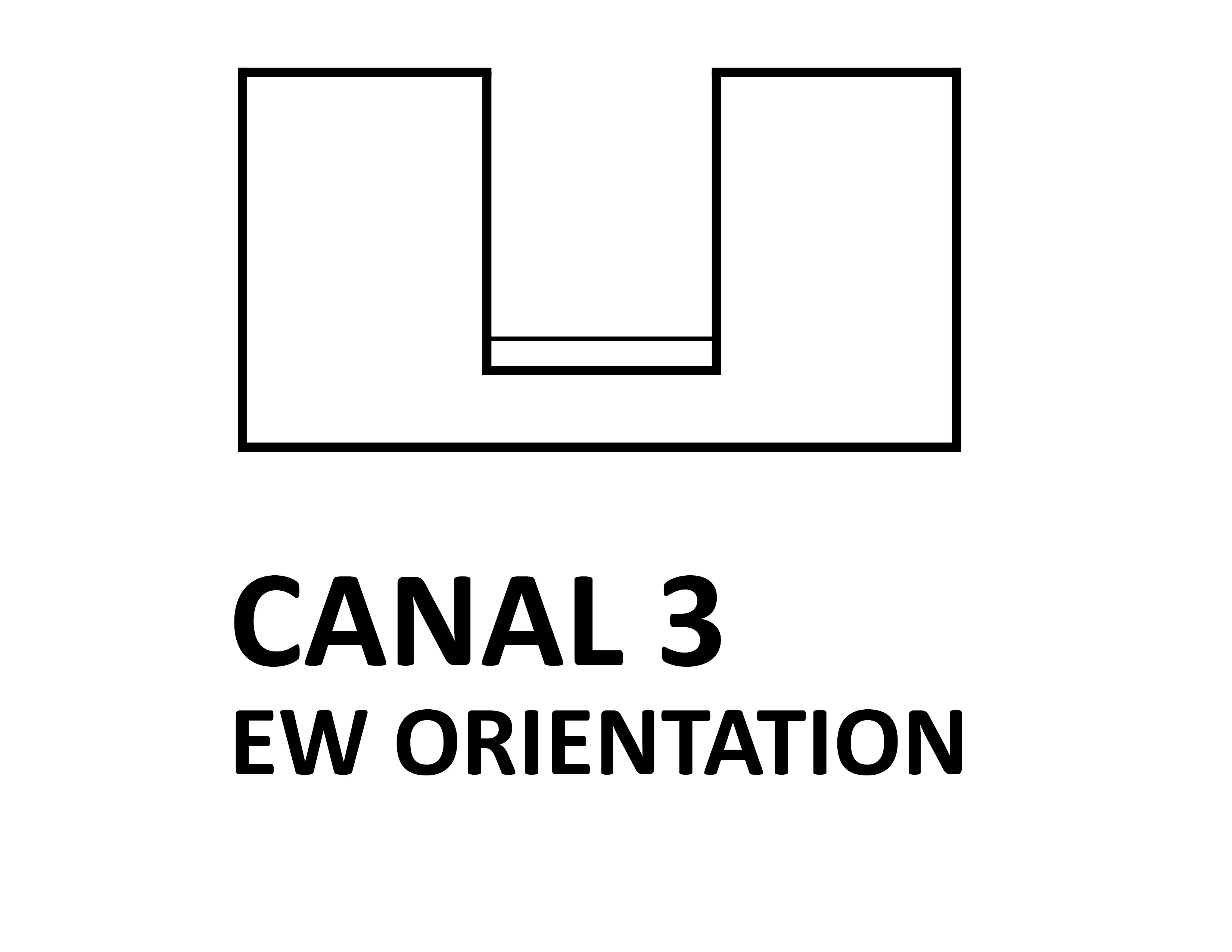
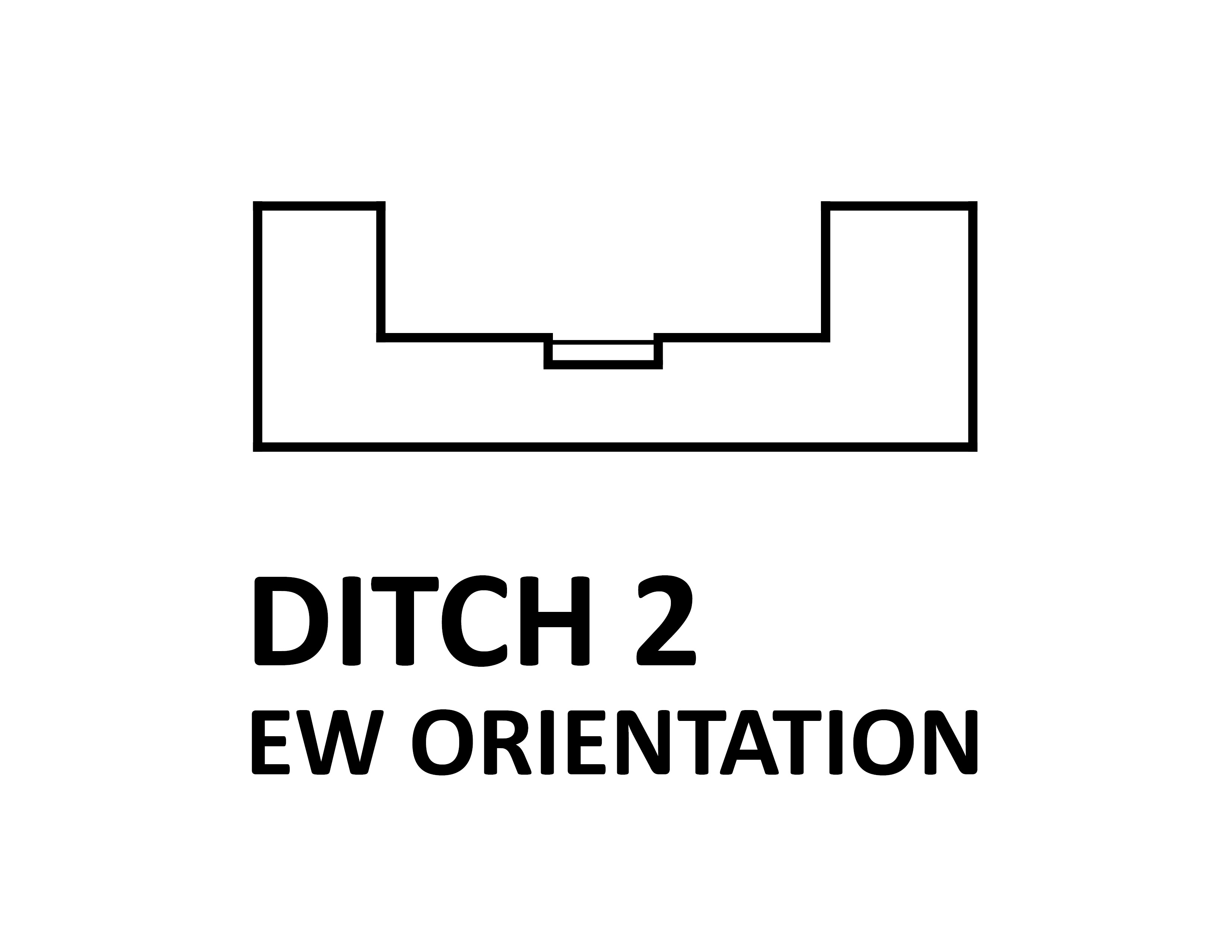
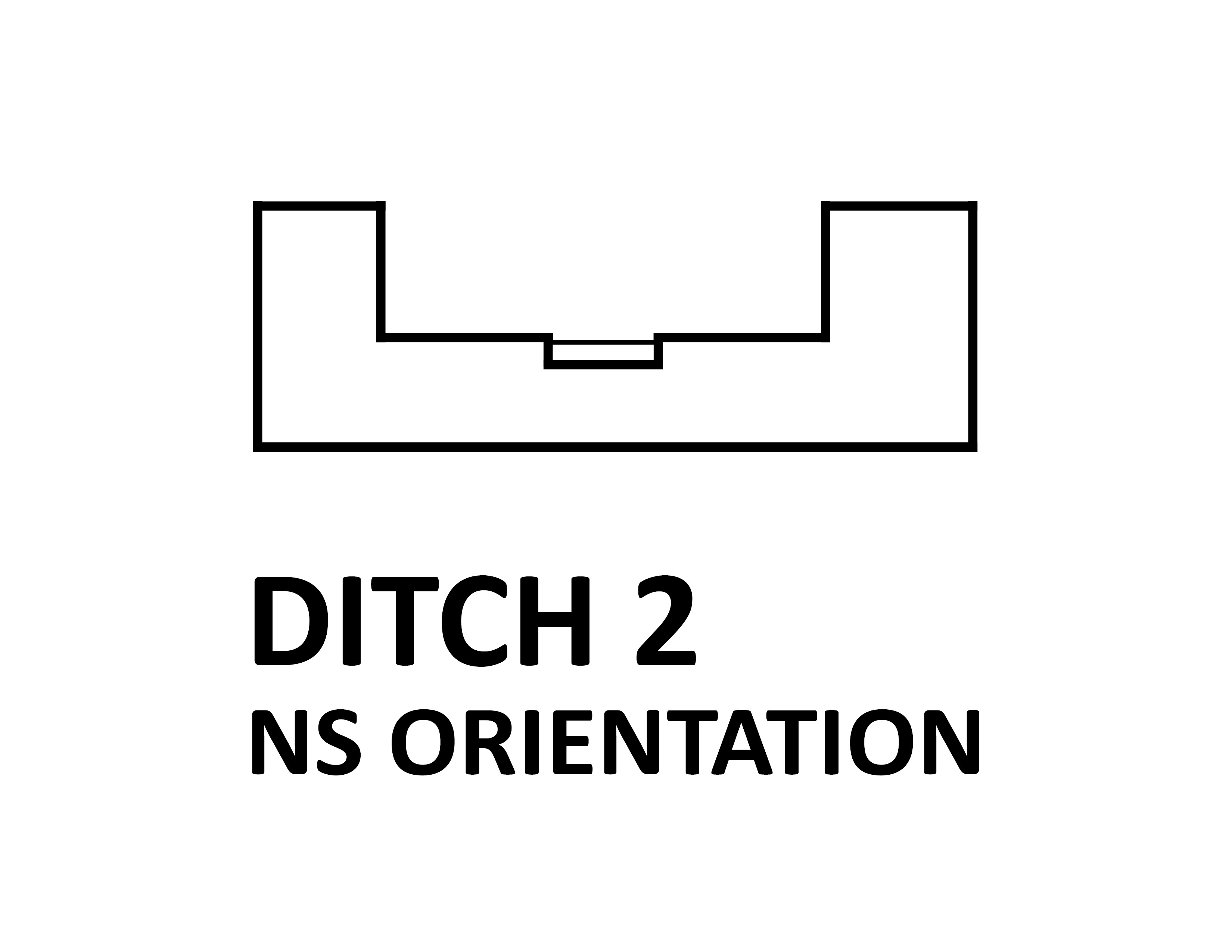
Average 27 m wide symmetrical canyons with a central 5 m wide waterbody in high or low-density centre or periphery areas. Steeply sloped, hardly accessible, green areas flank the waterbody. Predominant uses in water: none. Predominant surrounding uses: motorised and pedestrian traffic; residential.
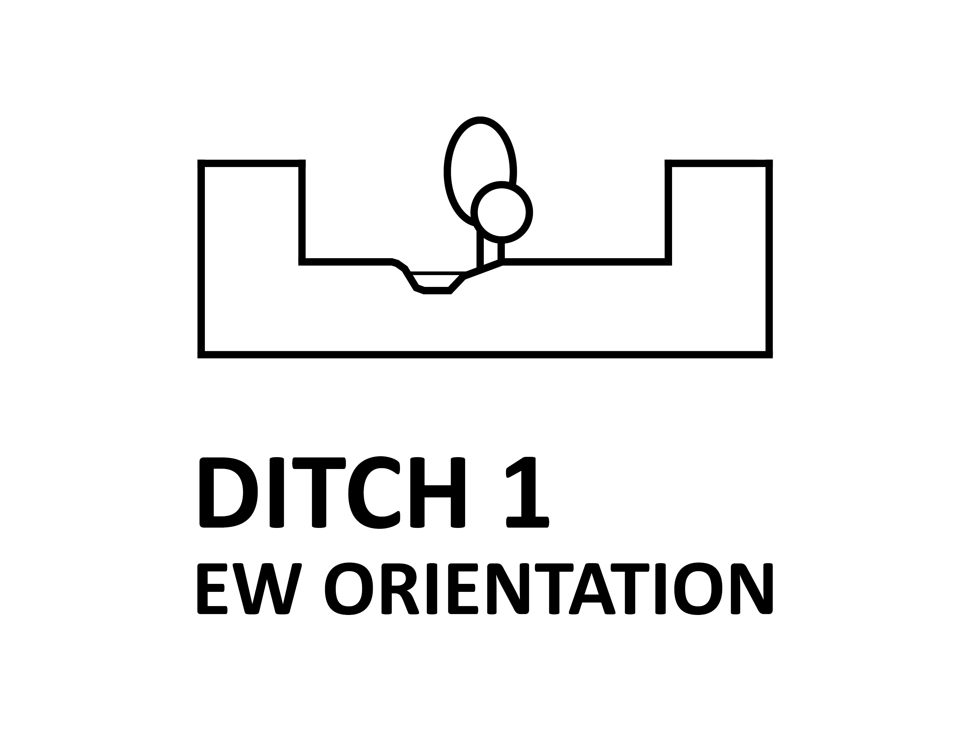
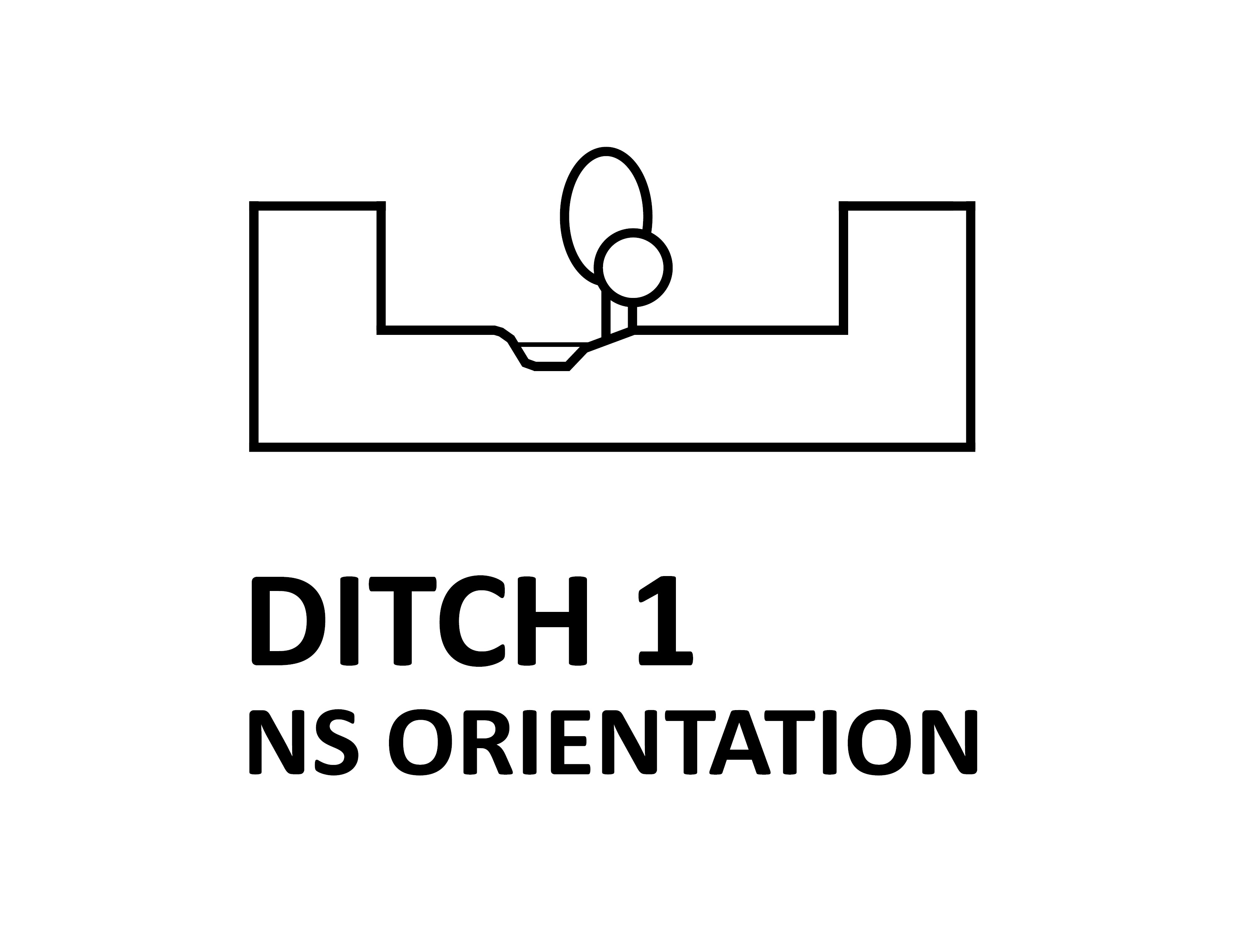
Average 22 m wide asymmetrical canyons with a 3 m wide waterbody in low-density periphery areas. Steeply sloped green areas flank the waterbody. Predominant uses in water: none. Predominant surrounding uses: on one side, public domain (street) with motorised and pedestrian traffic and, on the other side, private domain (backyards); residential.

Method
REALCOOL had a team of experts in bioclimatic urban design, urban meteorology, water-atmosphere interaction and 3D visualisations. The project followed a Research Through Designing (RTD) approach: an iterative process where each iteration is built upon the achievements of the previous one. REALCOOL comprised four iterations that included designing and testing stages.
The designing stages explored different combinations of shading, vaporisation and ventilation strategies over common Dutch urban water bodies. East-west (EW) and north-south (NS) orientations were included. All design options addressed a typical Dutch heatwave day, with a maximum temperature higher than 30 °C. The chosen date was the 23rd of June, near the annual maximum of solar elevation, and wind direction was taken to be East, the predominant wind direction during heatwaves in The Netherlands.
Testing included expert judgments and micrometeorological simulations on the cooling effects of the prototypes. External practitioners assessed parameters commonly encountered in urban design practice, like aesthetical appeal, functionality, costs, maintenance requirements and health effects.
General results
The cooling effects of small urban water bodies on air temperature are quite small. Little can be done through urban design interventions to cool down water itself and, thus, make the water cool its surroundings. However, the combination of shading, water vaporisation and ventilation around water can create urban water environments offering improved conditions for human thermal sensation during hot periods. During the hottest time of the day, the Physiological Equivalent Temperature (PET) can be locally reduced between 1 °C and 10 °C by:
- substantially increasing shade with trees near the water, particularly in the planned sojourn locations where people will likely be found
- allowing air to flow as unobstructed as possible, as this will favour cooling by wind
- introducing water fountains and mists as close as possible to people, as their cooling effects can be low and spatially limited
- providing direct access to water, as it further enhances cooling experiences.
Supplementary remarks on urban design
The prototypes are generic layouts and the results from the simulations indicate their cooling effects. These effects can differ for specific situations, both in magnitude and spatial pattern. For example, the resulting cooling from the shading of trees depends on the exact location of the trees.
The animations depict cooling effects only. However, the prototypes are based on designs comprising other effects: rainwater storage, aesthetical appeal, functionality, maintenance, costs and health. The whole range of results from REALCOOL can be found in the project’s scientific publications .
Tree cover for shading should be carefully weighed since a too dense canopy can actually increase PET by obstructing wind and preventing night-time cooling.
Although shading water does not cool it down sufficiently, it can still help prevent the blooming of pathogens during hot periods.
Bringing people and water closer together may result in exposure to waterborne pathogens and small bio-aerosols via the respiratory system, ingestion of water or by skin contact. It is crucial to control water quality and use drinking water for water fountains and mist sprayers.
Supplementary remarks on urban meteorology
Cooling effects were assessed by means of PET (Physiological Equivalent Temperature: an index to assess the thermal environment), they are local and also estimated at night.
The micrometeorological simulations were performed with the Envi-met Winter1617 (V4.1.3) release. This release allows simulating turbulent mixing and transport in the water and adjusting the light absorption characteristics of water.
The thermal effect of water was simulated for a typical tropical day (Tmax >= 30 °C) and the following night, when heat stress may be severely felt. The simulations were performed for 15.00h, when the maximum air temperature is reached, and 5.00h, when the minimum air temperature occurs. Average values for air temperature, relative humidity, wind speed, wind direction and cloudiness for tropical days in The Netherlands were used. A day near the summer solstice was selected because of the high solar elevation during midday, representing days with intense solar radiation.
The water droplet size for water fountains and mist used in Envi-met was 10 µm, and the water jet for water fountains was 4 m high. These parameters were largely determined by the possibilities and limitations offered by Envi-met model. Using different values for these parameters might lead to different results.
The type of trees used in the Envi-met simulations corresponded to species commonly encountered around Dutch urban water bodies (e.g. elm or plane tree). Different species and, thus, foliage densities can result in different micrometeorological outputs.

Assessing our design prototypes with our advisory committee
Publications:
Paper presented at the DRS conference 2018
Poster presented at the ECCA conference 2017
Paper presented at the ECLAS conference 2017
Poster presented at the ICLEI Resilient Cities Forum 2018
Article in Dutch professional magazine 'stadswerk'
